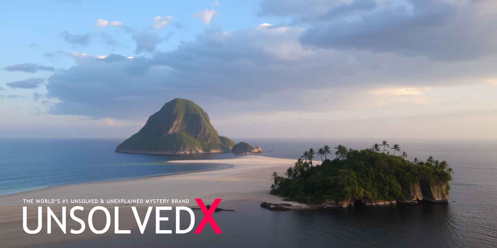
The History of Sandy Island
Sandy Island, a phantom island nestled between Australia and New Caledonia in the Coral Sea, has puzzled mapmakers and adventurers alike for over a century. Its story begins in 1876 when the whaling ship Velocity reported sighting a landmass roughly 24 kilometers long and 5 kilometers wide—about the size of Manhattan. This sighting found its way onto British Admiralty charts in 1908, cementing Sandy Island’s place in maritime lore. For decades, it appeared on countless maps, from nautical charts to digital platforms like Google Earth, with its coordinates placing it within French territorial waters near the Chesterfield Islands. The idea of an uncharted island in the vast Pacific sparked curiosity, drawing attention to this supposed speck of land in an otherwise endless sea. Yet, as ships traversed the region and technology improved, the island’s existence remained frustratingly unverified, hinting at a deeper mystery.
Despite its prominence on maps, Sandy Island’s reality began to unravel as early as the 20th century. Expeditions failed to locate any land at the reported coordinates, and by 1974, the French Hydrographic Service scrubbed it from their charts after aerial surveys turned up nothing but waves. Still, the island lingered on other maps, including a 1982 U.S. Defense Mapping Agency chart that noted its 1876 sighting and a conflicting 1968 report shifting its position slightly east. Its ghostly presence was further fueled by the World Vector Shoreline Database (WVS), a digital repository of old charts that carried forward errors from the past. This database, used widely in modern mapping, kept Sandy Island alive despite growing skepticism, with some charts marking it as “existence doubtful.” The persistence of this cartographic specter reveals how easily mistakes can endure, woven into the fabric of our understanding of the world.
The 2012 Expedition: Unraveling the Mystery
The Sandy Island mystery reached its climax in November 2012, when Australian scientists aboard the RV Southern Surveyor set out to explore the Coral Sea’s tectonic history. Led by Dr. Maria Seton from the University of Sydney, the team sailed to the island’s supposed location during a 25-day expedition. Expecting to find at least some trace of land, they were stunned to encounter nothing but deep ocean—nearly a mile of water where charts promised an island. “We were all a bit gobsmacked,” Seton later recalled in an interview with The Sydney Morning Herald, capturing the team’s mix of disbelief and excitement. Their instruments confirmed the absence of any landmass, turning a routine survey into a headline-grabbing revelation. The news spread like wildfire, prompting Google and the National Geographic Society to erase Sandy Island from their maps, finally laying the phantom to rest.
The expedition’s findings sent ripples through the cartographic community, exposing the fragility of even modern maps. Despite satellite imagery and advanced GIS tools, Sandy Island had slipped through the cracks, a relic of outdated data stubbornly clinging to existence. Cartographers scrambled to update their records, while the public marveled at how such an error could persist into the digital age. Some speculated it might have been a real island lost to erosion or rising seas, but the ocean’s depth at the site—far too great for any submerged land—squashed that theory. Instead, the event underscored a humbling truth: our maps, though authoritative, are not immune to human folly. For unsolved mystery buffs, the 2012 “undiscovery” of Sandy Island became a modern enigma, blending science, exploration, and the thrill of the unexpected.
Theories and Explanations: Why Did Sandy Island Vanish?
So, how did Sandy Island haunt maps for so long? One compelling theory points to the limits of 19th-century navigation. When the Velocity crew logged their sighting in 1876, pinpointing a ship’s position at sea was a tricky business, often off by miles due to imprecise longitude calculations. They might have mistaken their location entirely, charting an island where none stood. Another possibility is more tantalizing: the “island” could have been a pumice raft, a floating mass of volcanic rock that mimics land from afar. The Coral Sea hosts active underwater volcanoes, and pumice rafts aren’t rare— a 2001 eruption near Tonga birthed one that drifted within 13 miles of Sandy Island’s coordinates, as noted in a Geological Society of America report. These rafts dissolve or scatter over time, leaving no evidence behind, which could explain the vanishing act.
The mystery deepened with the quirks of digital mapping. When old charts were digitized into databases like the World Vector Shoreline Database and the Global Self-consistent, Hierarchical, High-Resolution Shoreline Database (GSHHS), errors like Sandy Island tagged along, unverified and unchallenged. “We often trust historical data without questioning it,” remarked a cartographer in a National Geographic piece on the incident, highlighting how blind reliance on the past can perpetuate myths. This glitch in the system let Sandy Island linger on screens worldwide, a ghost of cartography’s analog era. For fans of unsolved phenomena, this tale echoes other mapping oddities—like the lost island of Bermeja in the Gulf of Mexico—showing that even in an age of satellites, the world’s edges remain tantalizingly blurry. The vanishing Sandy Island isn’t just a quirky blip in history; it’s a mirror reflecting our quest to map the unknown. From its shaky debut in 1876 to its dramatic exit in 2012, this phantom island challenges us to question what we see—or don’t see—on the maps we trust. It’s a reminder that mysteries don’t always lurk in shadowy corners; sometimes, they hide in plain sight, etched onto the very tools we use to navigate our world. Sandy Island offers a perfect blend of fact, speculation, and wonder—a Coral Sea conundrum that proves there’s still magic in the gaps of our knowledge.


Comments
Comments section coming soon!